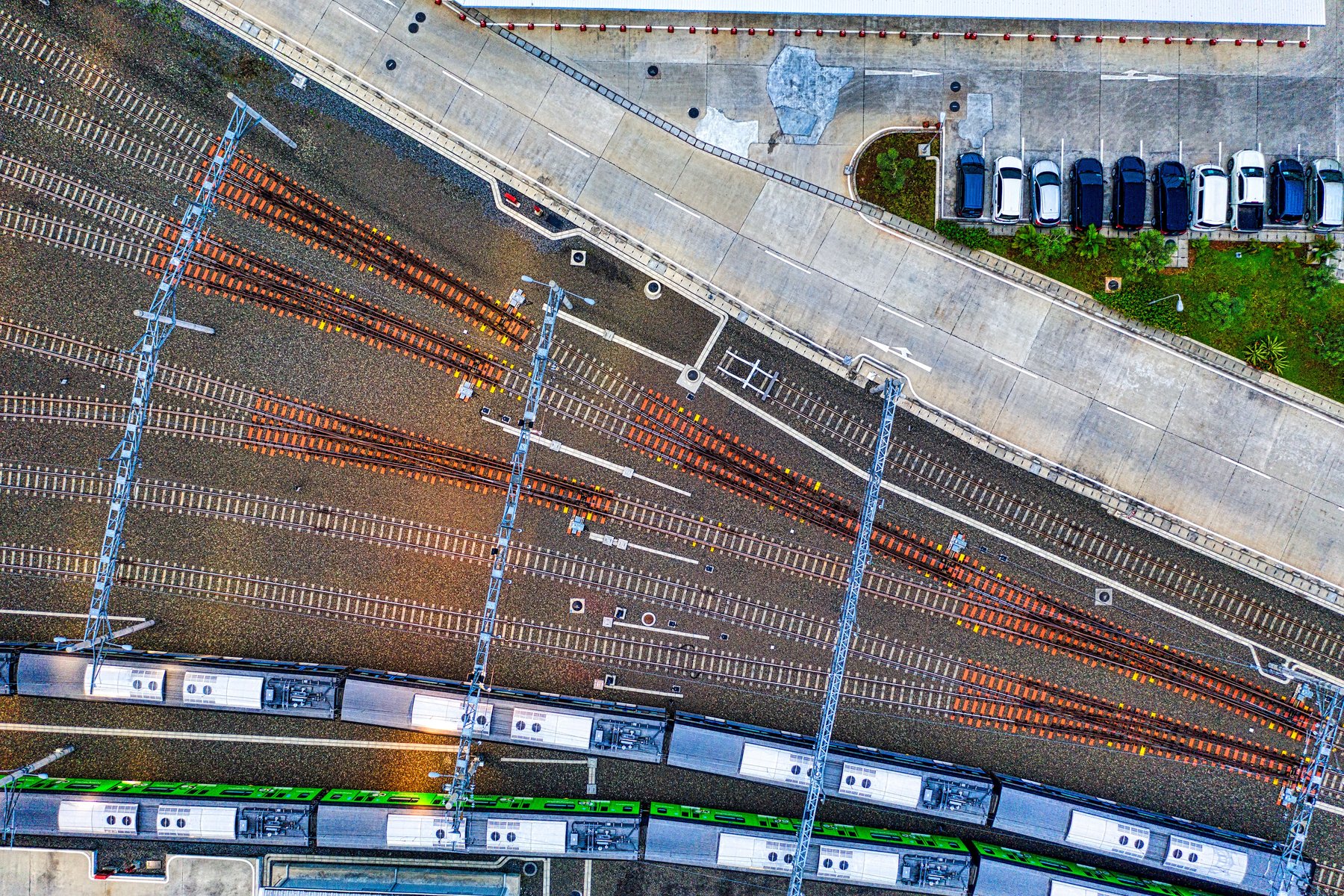
Surveying a railway line is no longer just about setting foot on the track. Aerial and train LiDAR, drones and BIM modelling are transforming surveying from a series of point measurements to a point cloud continuous, from which to extract the shape, geometry, and asset inventory. It's the first building block of the digital twin—and it touches the heart of our craft.
From point measurement to point cloud
LiDAR (Light Detection and Ranging) provides precise 3D models of the infrastructure in the form of point clouds. These provide the rail profile, track geometry, clearance and interference measurements, contact line height and polygonal shape, and even a complete asset inventory. By integrating LiDAR, track profile, and video into a single, multi-source digital survey, you get what matters most in a project: single source of truth, georeferenced and dated, instead of isolated measurements that are difficult to compare.
Why it's worth it: safety, cost, frequency
The advantage is not only technological. Automating the acquisition significantly reduces the cost per kilometer recorded and, above all, reduces the time operators spend on the platform, with a direct benefit to safety. By making monitoring economically sustainable, it allows for increased frequency: from occasional surveys to proactive and repeatable checks over time.
The orders of magnitude of real deployments give the measure of the leap: LiDAR systems installed on trains and countrysides covering over 12,500 km of network per year they tell of a relief that is no longer an event, but a continuous flow of data.
The point is not to replace precision surveying, but to multiply its frequency: when measuring costs less and doesn't stop the line, maintenance can finally become predictive.
The bridge to BIM and the digital twin
The point cloud, by itself, is raw material. Its value arises when it becomes a model: integration with BIM platforms transforms survey data into queryable objects—tracks, switches, structures, junctions—that can be used for analysis, automatic reporting, and, ultimately, the digital twin of the line. This is the direct link to the evolution of the predictive maintenance: without a structured and georeferenced survey, the model has no foundation.
The P-WAY reading
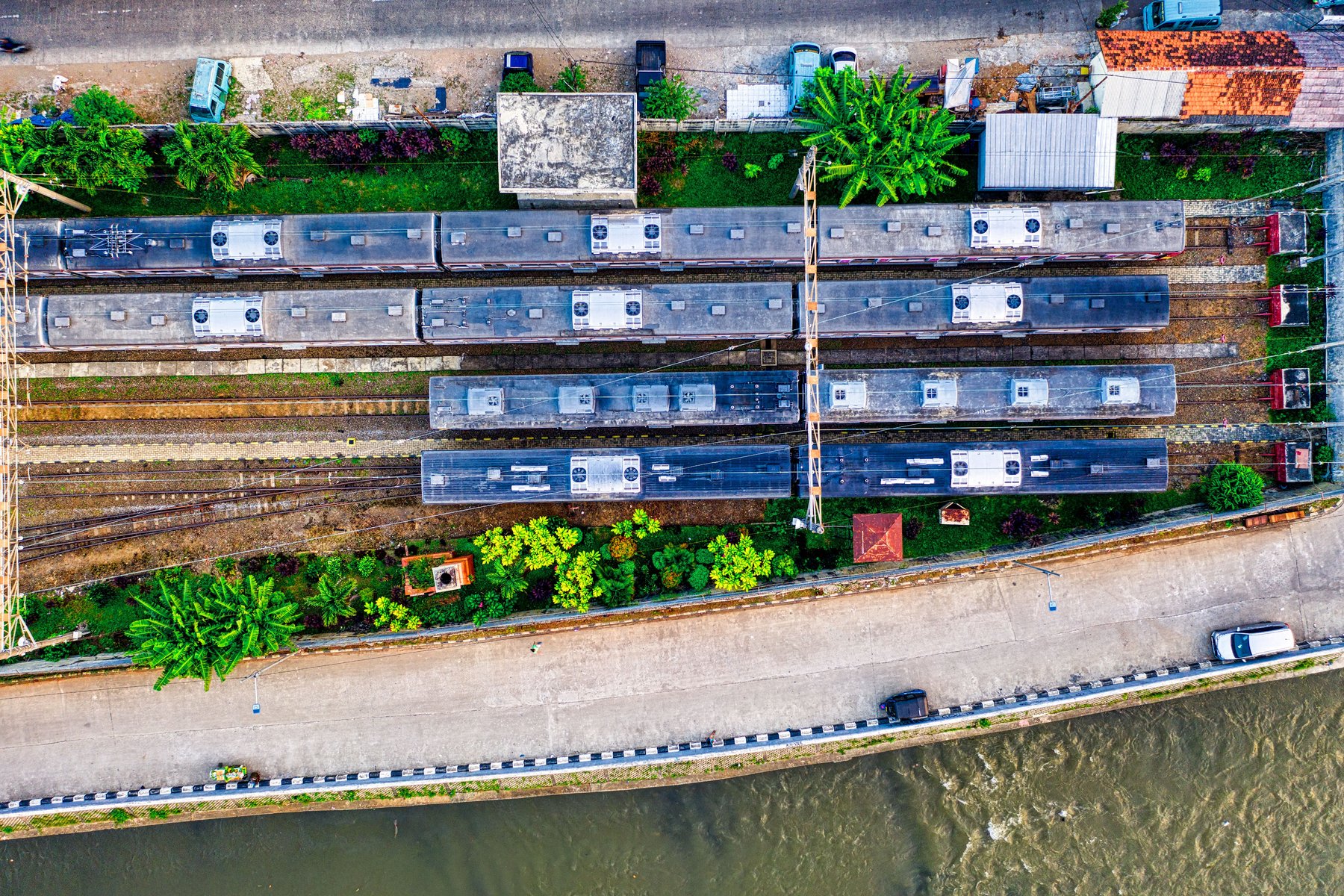
Planimetric and altimetric surveys of stations, railway lines, and private connections using total stations, GPS, and drones are our daily work. New acquisition technologies don't change the objective—accurate, traceable, and documented data—but they expand what can be done with that data: feeding a model, comparing two survey periods, and anticipating an intervention.
Our belief remains the same: the best technology is of little use without method. Survey, analysis, design, verification. LiDAR and drones are powerful tools within this sequence, not a shortcut to bypass it.
Sources: Cordel, «LiDAR-powered Digital Twins are ready to deliver on the promise of Intelligent Railways»; Springer, «Comprehensive Railway Track Monitoring Using UAS and BIM» (2025); Network Rail (Class 165) and ARTC Wave 32 LiDAR cases.
Related service: Railway topographic surveys by P-WAY Engineering.